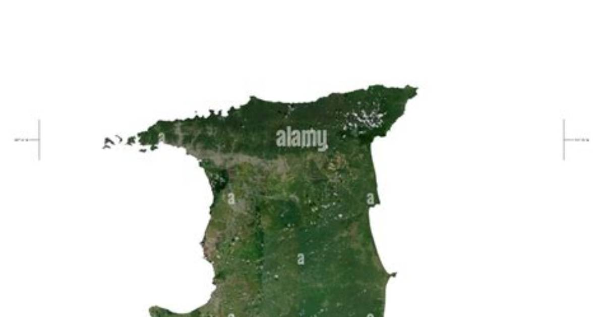
Because Trinidad and Venezuela sit virtually face-to-face, their shared Caribbean Sea maritime boundary requires strict bilateral delimitation. The modern boundary, established under the 1990 Republic of Trinidad and Tobago, Republic of Venezuela Treaty, allocates territorial waters and an exclusive economic zone (EEZ) rich in hydrocarbons.
Industrial density along these boundaries creates continuous environmental and logistical pressure. According to industrial reporting from Baird Maritime, cross-border alarms were raised when deep-sea oil leaks threatened shared fishing grounds and delicate mangrove ecosystems across the Gulf of Paria. The close geography means any ecological disaster in eastern Venezuelan waters directly impacts Trinidad’s western shoreline within 48 hours.
The table below outlines the core maritime corridors defining Trinidad’s geographic perimeter and their functional roles:
| Maritime Passage | Bordering Landmasses | Width / Boundary Type | Geographic Role |
|---|---|---|---|
| Bocas del Dragón | Northwest Trinidad & Paria Peninsula | 12 miles wide (split into 4 straits) | Primary shipping exit to the southern Caribbean Sea |
| Gulf of Paria | West Coast of Trinidad & Eastern Venezuela | ~45 miles average width | Semi-enclosed basin hosting heavy maritime industry and ports |
| Columbus Channel | South Coast of Trinidad & Orinoco Delta | 7 to 9 miles at narrowest bottlenecks | Southern gateway connecting Atlantic flows to the Gulf |
| Galleons Passage | Northeast Trinidad & Southwest Tobago | 20 miles open ocean channel | Domestic inter-island transit corridor between sister islands |

